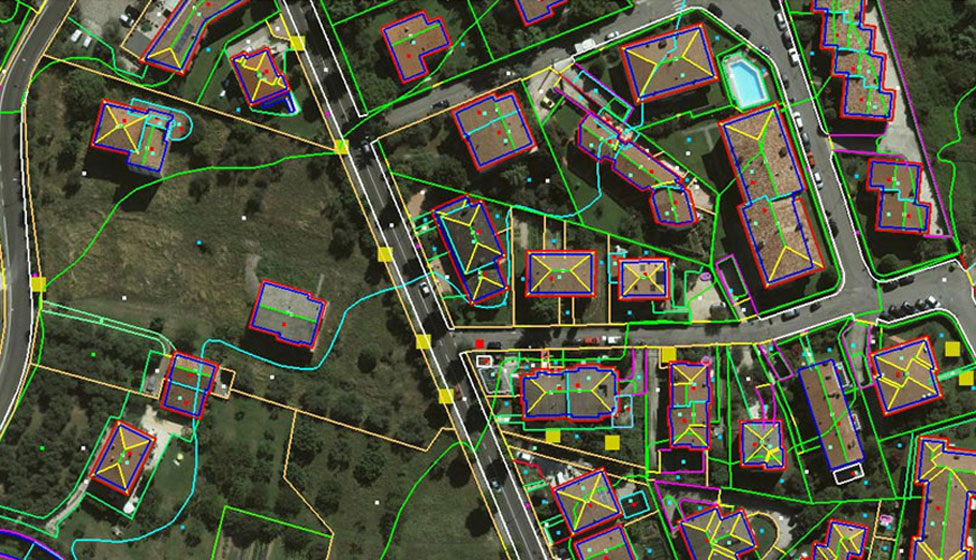
Mapping & Planimetry
This particular division in NCER is dedicated to Core GIS Work which includes Back Office Digitization, Satellite Maps Digitization, Aerial Maps Digitization, Cadastral Map Digitization, Digital Map Creations, Terrain Maps, Topographic Maps, Online Digitization, Online Validations etc.
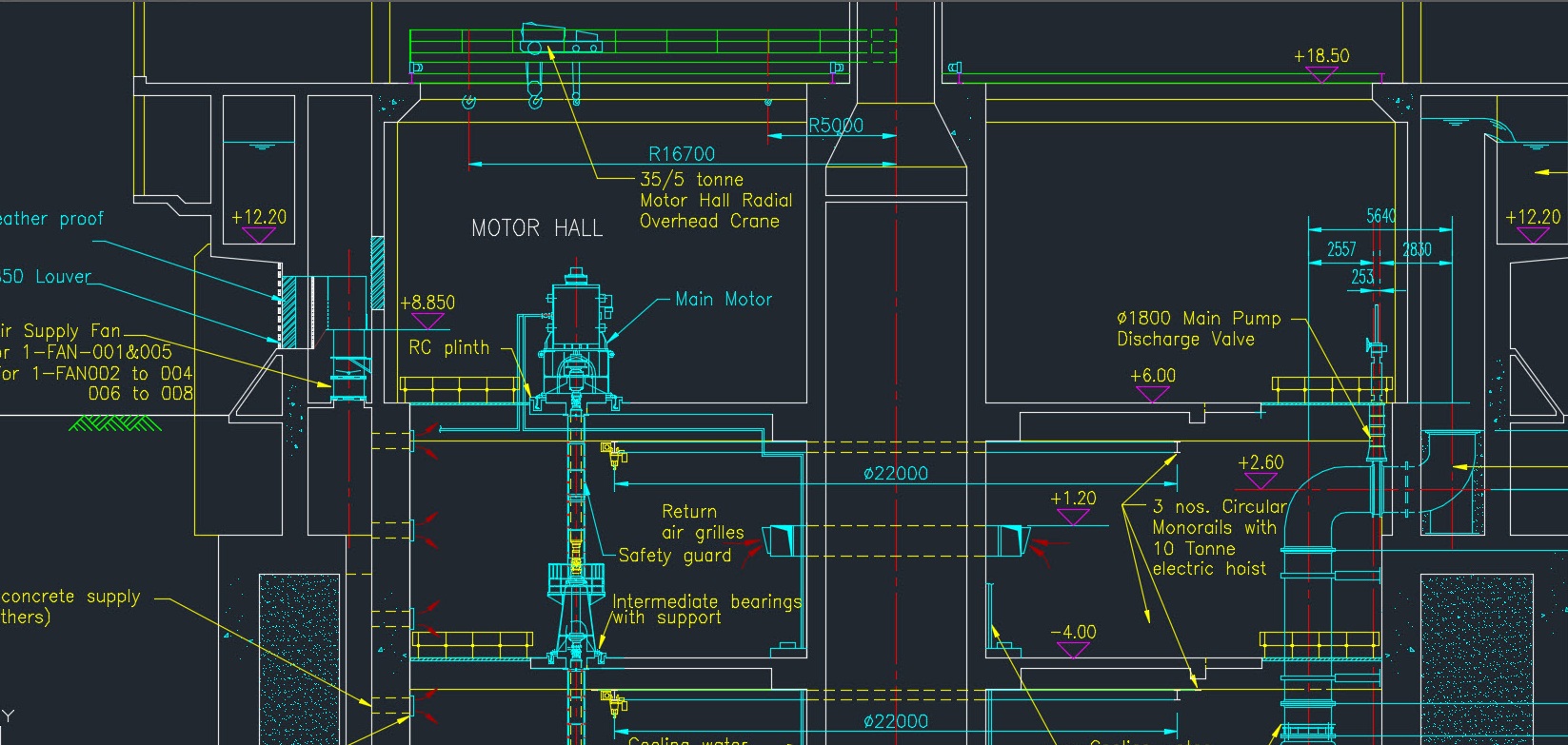
AutoCAD Services
NCER Provides AutoCAD Services for Single Line Diagrams, Map Creations, Cadastral Map Creations, Parcel Map Creations, 2D – 3D Designing, AutoCAD Drafting etc.

Urban & Rural Planning
NCER provides solutions to agencies for Town & Country Planning, Land Development, Survey Work, Back Office Assistance, Infra Structure Designing, Regional Planning, Traffic Control Planning, City Planning and Management Assistance.
Scanning & Digitization
Our services include management, alignment, scanning & indexing of digital data. We take care of each aspect to preserve the originality of the document. We also provide solutions such as Document Management Systems for easy retrieval of the scanned & digitized documents.

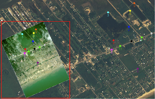
Geo-referencing
Further analysis or modeling requires data set to be correctly geo-referenced. Geo-referencing means assigning geographic coordinates to the spatial data. NCER offers all kinds of registration techniques.
Data Conversion
Conversion of data from one digital format to a new digital format is referred to as data translation. NCER team of experienced and multi-skilled specialists has a vast knowledge of converting various types of geospatial data.

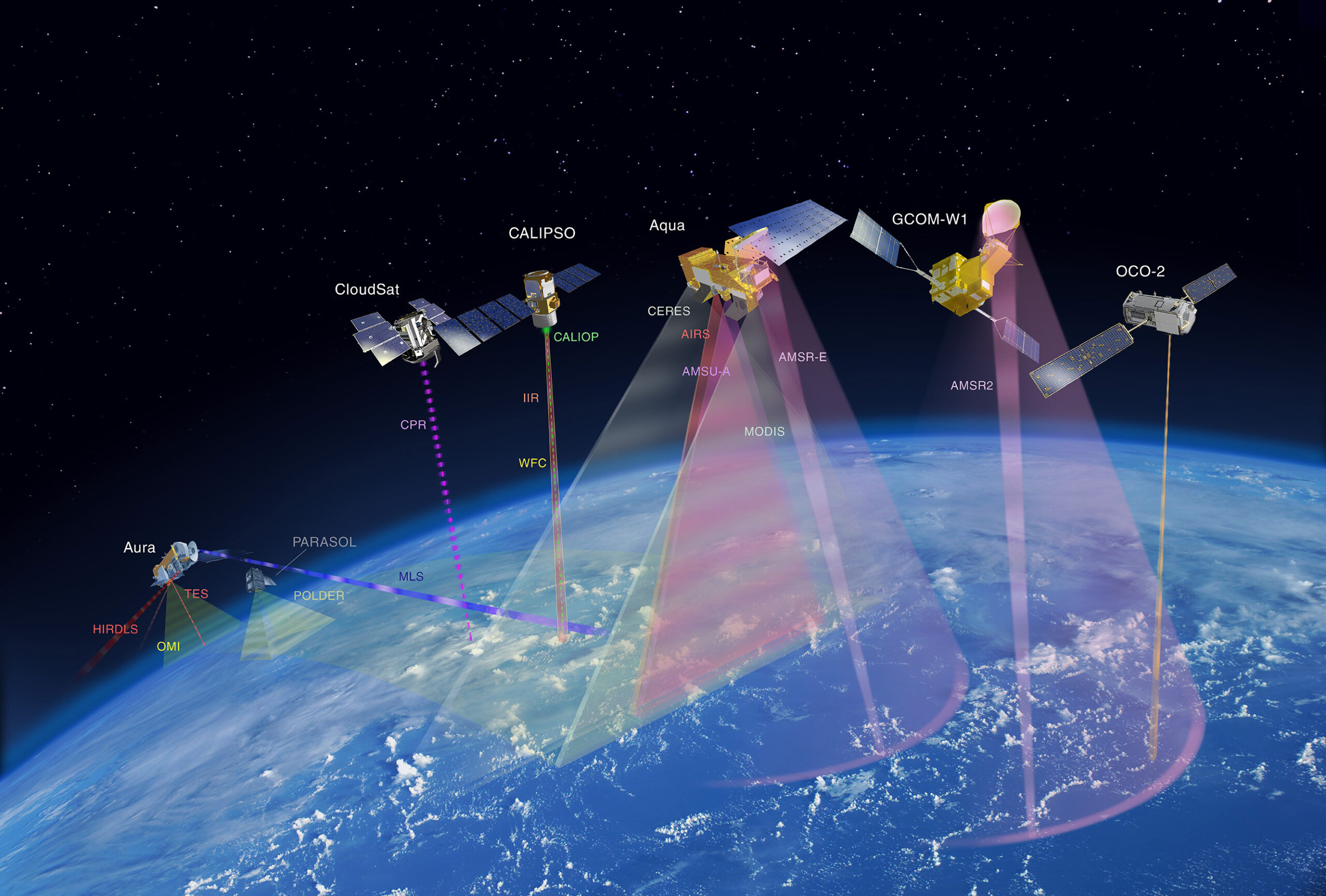
Remote Sensing Solutions
NCER provides Remote Sensing solutions for Remote Sensing Projects also, as per the project requirements.
Navigation Services
NCER provides services for Navigation Solutions or Navigation Projects. We provide Manual Navigation, Vehicle Navigation services to the clients as per the requirements.


GIS Telecom Services
NCER is well known name for Telecom related projects services. We have provided solution to the Client on Mobile based GPRS & GSM Banking related to Telecom.